Territory
The italian writer Piovene wrote that Campofilone is a town situated in an ideal geographical position, where see, country and wild hills come across creating a rare wonderful scenary.
Territory
The italian writer Piovene wrote that Campofilone is a town situated in an ideal geographical position, where see, country and wild hills come across creating a rare wonderful scenary.

Territory
The origin of the name “Monsampolo” comes from the name of a Frankish knight, called “Monù de Saint Paul”.

Territory
ito Livio, the latin historian, tells about the healing properties of the sulphureous water of Acquasanta Terme in his works, underlining its uniqueness and effectiveness even compared to the most famous one of Toscana.

Cycling holidays
Starting from Cupra Marittima and heading north, turn left immediately to take the SP91 Menocchia Valley

Territory
The town of Cossignano lies on the top of a hill and it is surrounded by a medieval city wall, where nowadays still stands the big tower of San Giorgio (XIV century) with its Gothic door.
Cycling holidays
Il percorso è’ completamente asfaltato. Presenta due salite in rapida successione; per cui E’ meglio disporre di una bicicletta da corsa con cambio a più rapporti con coperture di tipo slik.

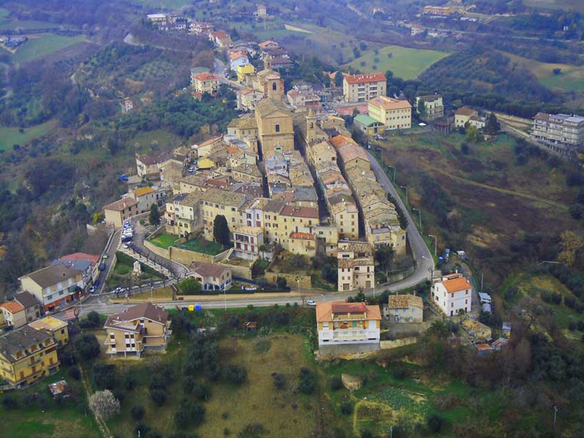
Territory
Since 2003 certified as one of “the most beautiful Italian towns”, this charming medieval village sits on top of five different hills.
Cycling holidays
L’itinerario si sviluppa lungo strade asfaltate a scarso traffico veicolare, salvo poche eccezioni per gli inevitabili attraversamenti di vie di maggiore comunicazione

Territory
Arquata del Tronto is the only european town situated within two different national nature reserves...

Territory
Montedinove rises on the top of a hill, between the fertil valleys that come along with the rivers Aso and Tesino without interruption to the Adriatic sea.
Territory
Massignano town structure is still tipically medieval and its city centre is defined by three access gates, the ancient of which is placed at the north.

for 7 days, three-room apartment (4/6 places) from € 270

for 7 days, three-room apartment (4/6 places) from € 270

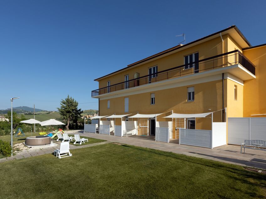
Stay in Villa Marchetti in September and you will be able to participate in the harvest and start making your own wine
for 7 days, three-room apartment (4/6 places) from € 270