Acot
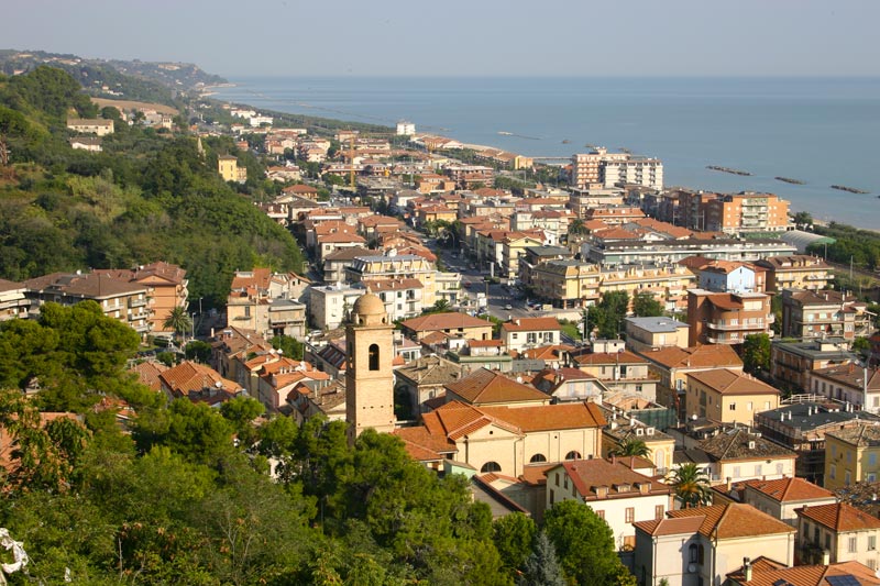
In Search of the Goddess Cupra: Cultural Walk in Cupra M.
Contacts Acot
Experience Details
A moderately long and challenging route designed for those who wish to discover, step by step, all the main historical, cultural, and natural sites of Cupra Marittima. The itinerary spans different eras; from Roman times to the Middle Ages, and meanders through countryside, scenic views, dirt paths, and urban stretches.
The journey can be undertaken in a single intense day for those who enjoy active exploration and don't mind a bit of exertion, or divided into several stages over different days, visiting one area at a time with calm and attention.
The total length of the route is approximately 6.5 km, with moderate elevation changes.
1. Departure from Piazza della Libertà towards the “Civita” Archaeological Naturalistic Area
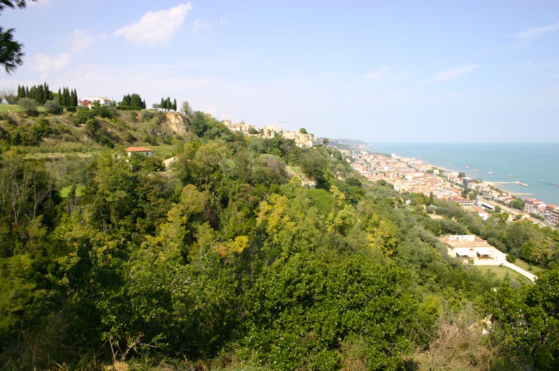
The itinerary begins at Piazza della Libertà, the town's central hub and seat of the municipality. From here, head north along SS16 for 1.2 km until the intersection with SP91 (near Morrison’s Pub), turning left towards Montefiore and Carassai. After about 280 meters, you'll reach an area of significant archaeological interest, where, on the left, you can glimpse the area of the Forum of the ancient Roman city of Cupra Marittima, called “Civita,” situated on an elevated plateau compared to the road. On the right, the remains of the Roman walls, known as “Mura Mignini,” are visible.
2. Ascent to the Civita Forum and visit to the Church of St. Basso
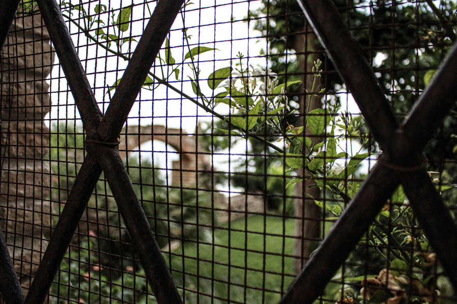
Before the highway bridge, turn left onto a dirt road that ascends southeast towards the Civita Forum. The area is accessible during the summer, including guided tours (all information on this link). After visiting the area, take a descent on the left, still southeast, crossing an olive grove. During this brief descent, you can admire on the left the ancient Church of St. Basso alla Civita, a 9th-century farmhouse dedicated to the town's patron saint. The path continues downhill to an old house, from which you turn right to return to SS16, near Bar Curzi, where other remains of Roman walls are located.
3. The Roman Nymphaeum
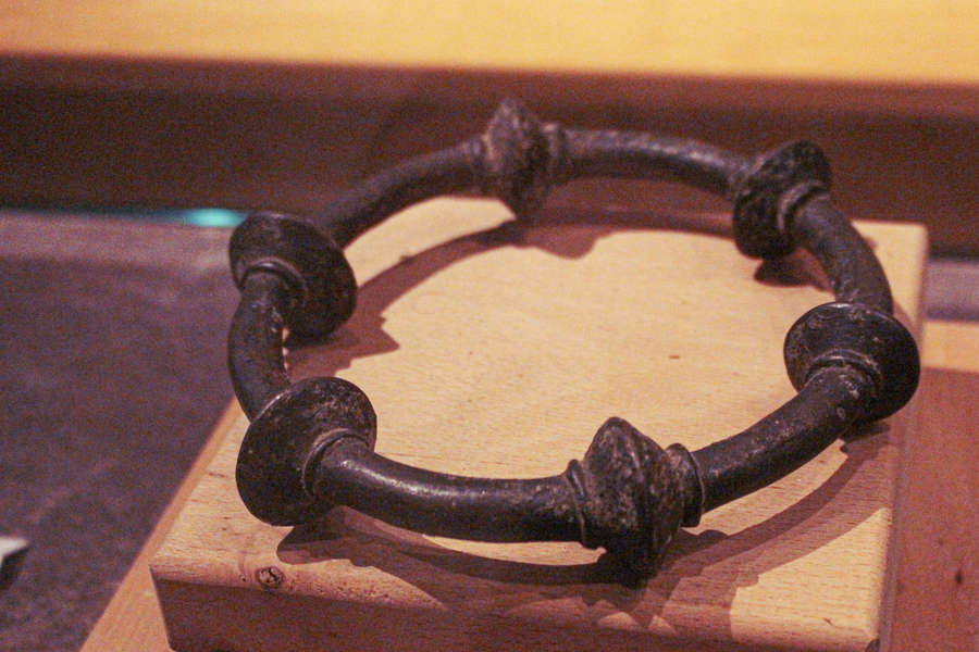
Continuing south along SS16, after 320 meters, you'll encounter on the right the Nymphaeum, part of an ancient Roman villa. The site is open to visitors and preserves frescoes and artifacts in excellent condition, offering a valuable testimony of Roman life and art in the area.
4. Medieval Town of Marano
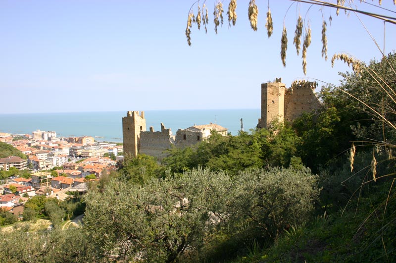
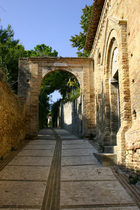
Proceed along SS16 for another 350 meters to the bridge over the S. Egidio stream, where you turn right at Bar Garden. From here, follow a road that ascends intermittently for about 1.4 km, passing under the motorway bridge. At a sharp bend, the ancient walls of the medieval town of Marano are visible. A white road on the left descends for about 150 meters, then ascends on an asphalted section leading to the entrance gate of Marano Castle. Within the medieval citadel, you can visit the remains of the three ancient Rioni (which make up the municipal coat of arms), the ruins of the Church of St. Maria in Castello, and the Francesco Sforza Palace.
5. Castle of St. Andrew and return to the center
From the square near the Ristorante Il Castello, descend towards the west arch, continuing on an uphill dirt road. Upon reaching an asphalted section near the cemetery, proceed straight until the first intersection, where you turn left. Continue until you reach the remains of the Castle of St. Andrea, an important historical-archeological area linked to the Picene settlement in the territory of Cupra Marittima.
Finally, take the downhill asphalted road leading back to SS Adriatica, south of the town. Cross the road and, through a railway underpass, access the cycle path that runs along the coast and returns north to the town center.